Cruising Guides Cruising Guides Cruising Guides
0
  • Home
  • Shop
    • Find a Retailer
    • NOAA Pod Charts
  • Blog
  • Contact
  • WH Map Corporation

Virginia Cruising Guide

Virginia Cruising Guide

$43.00 – $640.00

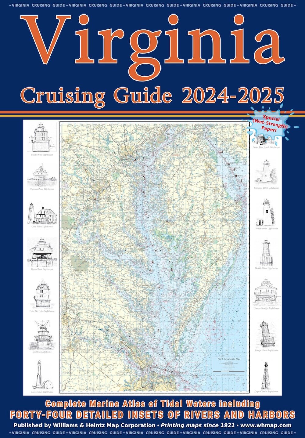
Our Virginia Cruising Guide covers Tidewater Virginia, southern Chesapeake Bay, Potomac River and the Atlantic Ocean shores and bays. There are full page enlargements of Ocean City and Chincoteague Island.

Clear
Add to Wishlist loading
Product added! Browse Wishlist
The product is already in the wishlist! Browse Wishlist
Compare
SKU: N/A Category: Cruising Guides
  • Description

Description

Our Virginia Cruising Guide covers Tidewater Virginia, southern Chesapeake Bay, Potomac River and the Atlantic Ocean shores and bays. There are full page enlargements of Ocean City and Chincoteague Island.

Included in your purchase of the new printed chart book, is a digital download of each of each individual chart for your phone or tablet.

VIRGINIA CHART INDEX

12 – Potomac River (Mattawoman Creek to Washington)
13 – Potomac River (Mathias Point to Gunston Cove)
14 – Potomac River (Colton Point to Mathias Point)
15 – Potomac River (St. George Island to Breton Bay)
16 – Potomac River Entrance
17 – Eastern Shore (Smith Island and Pocomoke Sound)
18A-B – Atlantic Shore (Ocean City Inlet and Chincoteague)
19 – Atlantic Shore (Chincoteague Island to Ocean City Inlet)
20 – Atlantic Shore (Gargathy Inlet to Chincoteague Island)
21 – Atlantic Shore (Quinby Inlet to Metompkin Inlet)
22 – Atlantic Shore (Cape Charles to Great Machipongo Inlet)
23 – Rappahannock River (Horse Head Point to Fredericksburg)
24 – Rappahannock River (Corrotoman River to Horse Head Point)
25 – Western Shore (Rappahannock River to Smith Point)
26 – Mid-Bay (Windmill Point to Smith Point and Tangier Island)
27 – Eastern Shore (Tangier Sound and Pocomoke Sound)
28 – York River (Yorktown to West Point- Mattaponi & Pamunky Rivers)
29 – Western Shore (York River to Rappahannock River)
30 – Eastern Shore (Cape Charles to Occohannock Creek)
31 – James River (Seven Mile Reach to Richmond)
32 – James River (Jamestown Island to Seven Mile Reach)
33 – James River (Nansemond River to Warwick River)
34 – Western Shore (York River Entrance to Norfolk)
35 – Chesapeake Bay Entrance
36 – Norfolk and Routes South
37 – Atlantic Shore (Virginia Beach to Back Bay)

Related products

  • Combo MD/VA 2018- 2019 $74.00 – $640.00 Select options
    Combo MD/VA 2018- 2019
    $74.00 – $640.00
  • Maryland Cruising Guide $43.00 – $640.00 Select options
    Maryland Cruising Guide
    $43.00 – $640.00
Cart
All Products
  • Combo MD/VA 2018- 2019 $74.00 – $640.00
  • Virginia Cruising Guide $43.00 – $640.00
  • Maryland Cruising Guide $43.00 – $640.00
We are social 24/7 - Get in touch

Contact Us

8119 Central Ave., Capitol Heights, MD  20743
Phone: 301-336-1143
Mon to Fri: 9:00am – 5:00pm
Copyright ©2019 Williams & Heintz Map Corporation. All Rights Reserved.

Web Design by Solnet.