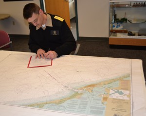
Williams & Heintz Map Corporation, a specialist in map printing, production, and folding is pleased to announce that they are now certified to print the National Oceanic and Atmospheric Administration Print-on-Demand Charts, (NOAA POD Charts).
NOAA has authorized Williams & Heintz Map Corporation to sell NOAA’s paper nautical charts that are printed when the customer orders them, or “on demand.” The information on the charts is still maintained by NOAA, and the charts are corrected with Notices to Mariners up to the week of purchase.
Williams & Heintz Map offers the POD charts on two paper types:
- 24 lb. JCP E-20 High Wet Strength Map Paper, a white paper with a lithographic finish that is made to be used out in the elements. This economical paper is fully functional even when wet.
- 36 lb. JCP E-50 Chart Paper genuine 50% cotton nautical chart paper, the same kind of paper as the lithographically printed charts that mariners are accustomed to.
“If you like the look and feel of the now out-of-print lithographic NOAA charts, this is the paper for you,” said Holly Heintz Budd, President and CEO of Williams & Heintz Map Corporation. “We are excited to be expanding into Print-on-Demand.”
Williams & Heintz Map Corporation has been printing maps for entrepreneurs, government agencies, and map publishers since 1921. They combine industry leading knowledge and customer service with the highest quality pre-press, printing, and folding.

NOAA Chart 11524 Charleston Harbor
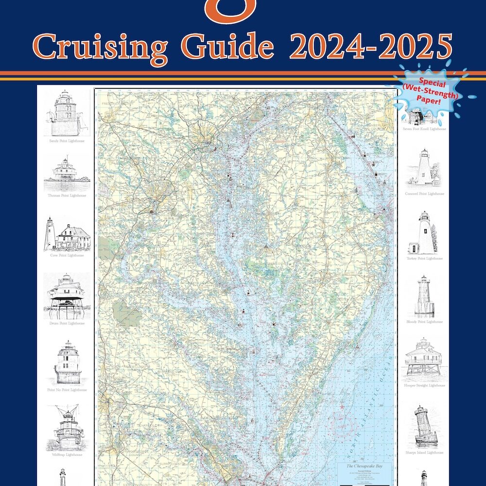
Williams and Heintz printed the very first Cruising Guide beginning inthe early 1960’s for the Maryland Department of Natural Resources. These nautical chart books of the Chesapeake Bay, Potomac River, Chincoteague Bay, Tidewater Virginia and Maryland. Cruising Guides contain the latest information on buoys, water depth, tidal currents, marinas, ramps, and channels.
The paper charts sold by the NOAA-certified printing agents meet carriage requirements for ships covered by Safety of Life at Sea regulations, specified in Title 33 of the Code of Federal Regulations. All charts sold by NOAA-certified agents are NOAA charts, and fully meet navigational standards.
 NOAA Office of Coast Survey is the nation’s nautical chartmaker. Originally formed by President Thomas Jefferson in 1807, Coast Survey updates charts, surveys the coastal seafloor, responds to maritime emergencies, and searches for underwater obstructions that pose a danger to navigation.
For additional information about Williams & Heintz Map POD Charts, please visit http://whmap.com/noaa-pod-charts/


