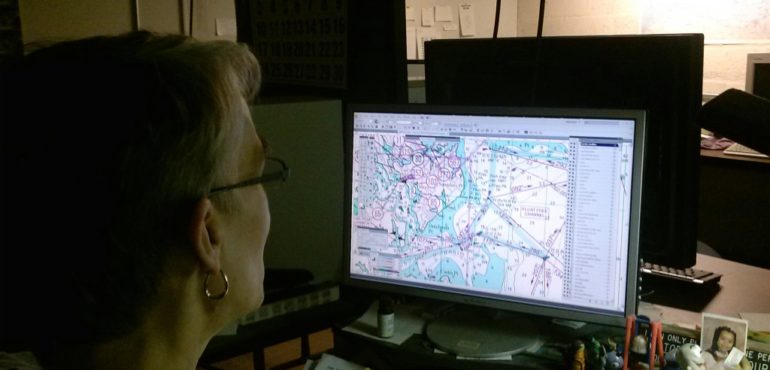
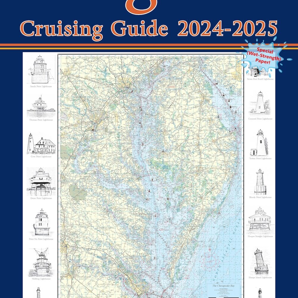
Our talented map artists and experienced cartographic technicians are busy elves preparing your new chart book just in time for the holidays.
New this year, the Williams & Heintz Cruising Guides will include links to get each nautical chart downloaded to your iOS and Andriod devices. For those who do not purchase a Maryland and Virginia Cruising Guide, individual charts will also be available for purchase as an App. Read more about the App here.

Updating the 2014 – 2015 Virginia Cruising Guide. We include changes to information on buoys, water depth, tidal currents, marinas, ramps, and channels.We compile navigation information from NOAA.
We update and republish every 2 years for the most up-to-date navigation chart books of Maryland and Virginia! We make hundreds of changes to information on buoys, water depth, tidal currents, marinas, ramps, and channels. We compile navigation information from the latest National Oceanic and Atmospheric Administration (NOAA) sources.


