Family owned and operated since 1921, Williams & Heintz Map Corporation is a local manufacturer in Capitol Heights, Maryland, with four generations of boating knowledge and experience. The paper for the chart book is sourced from an FSC certified paper mill, just two and a half hours from our printing plant.
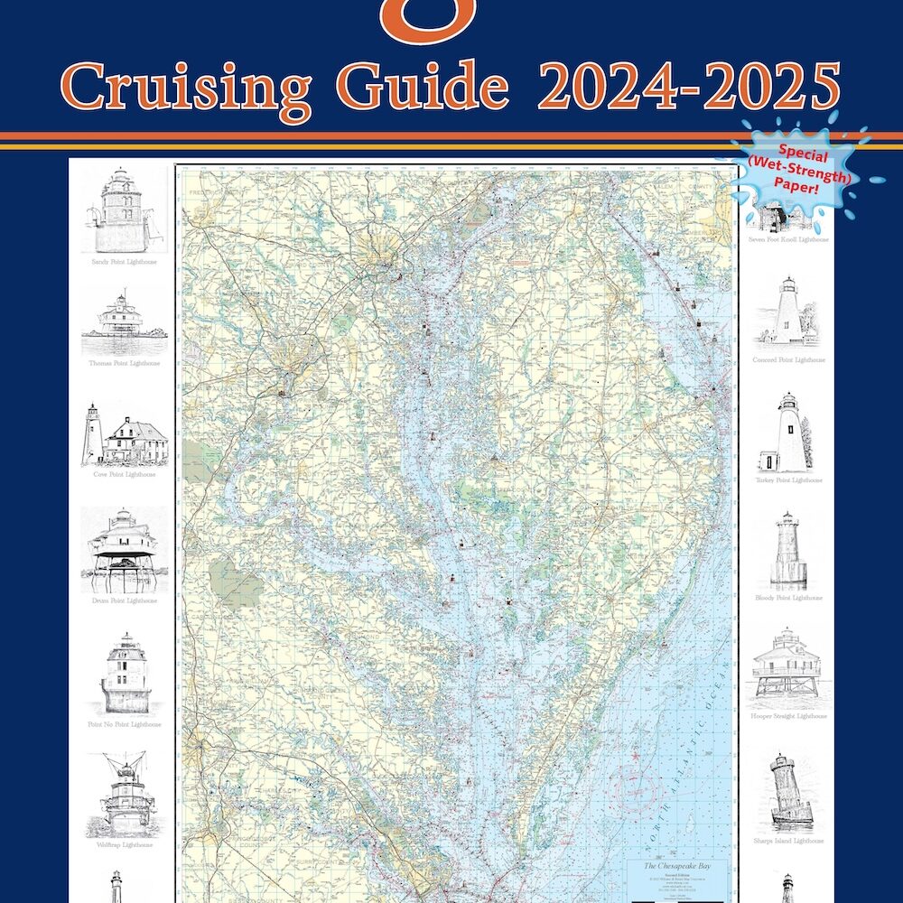
Past president, Dick Heintz, (9/14/33 to 3/1/10), personally designed the first Guide to Cruising Maryland Waters for the Tidewater fisheries Commission. As a mapmaker and a boater, he knew exactly what he wanted in a chart book. He arranged plenty of overlap, so that the pages covered all tributaries of the bay. He took care that nothing important fell on a seam. He included popular course headings, plus many additional features to make the chart book essential to every boater. These chart books have been regularly updated every 2 years since 1961. When Williams & Heintz took over as publisher, Dick renamed the book the Maryland Cruising Guide, as that was how many customers asked for it.


