Description
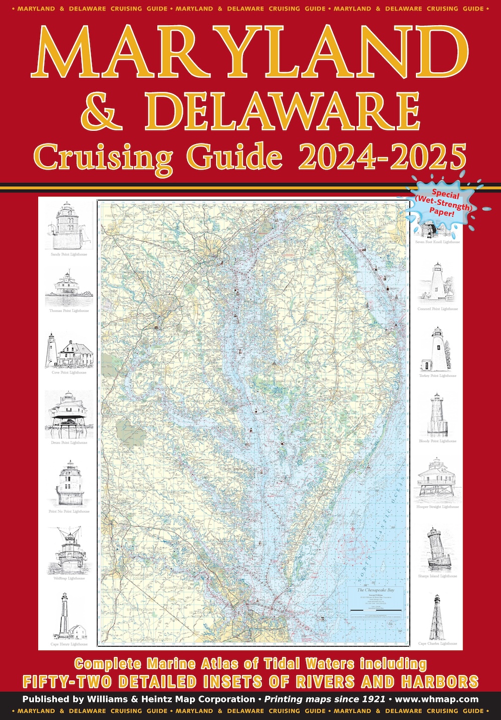
Our Maryland & Delaware Cruising Guide covers the Maryland area of the Chesapeake Bay, the Potomac River as far north as Washington, D.C., Delaware Bay to Cape May, and the Chincoteague Bay area (includes a large scale inset of Ocean City). MD Charts 1 through 20 and DE Charts 1 through 8 are at a scale of 1:80,000. The 52 insets are in various scales from 1:40,000 to 1:20,000.


