Cruising Guides and Wall Charts for Maryland, Delaware, Virginia and the Chesapeake and Delaware Bay
Showing 1–9 of 11 results


All Products
-
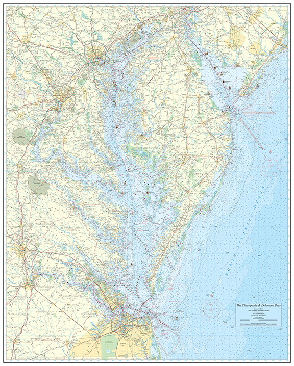 Chesapeake and Delaware Bays Wall Chart - 46.5" x 58"
$70.00 – $90.00
Chesapeake and Delaware Bays Wall Chart - 46.5" x 58"
$70.00 – $90.00
-
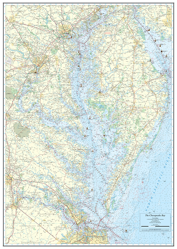 Chesapeake Bay Wall Chart - 37" x 52"
$60.00 – $80.00
Chesapeake Bay Wall Chart - 37" x 52"
$60.00 – $80.00
-
 VA Cruising Guides - (20 pack)
$640.00
VA Cruising Guides - (20 pack)
$640.00
-
VA Cruising Guides - (10 pack)
$360.00
-
VA Cruising Guides
$49.00