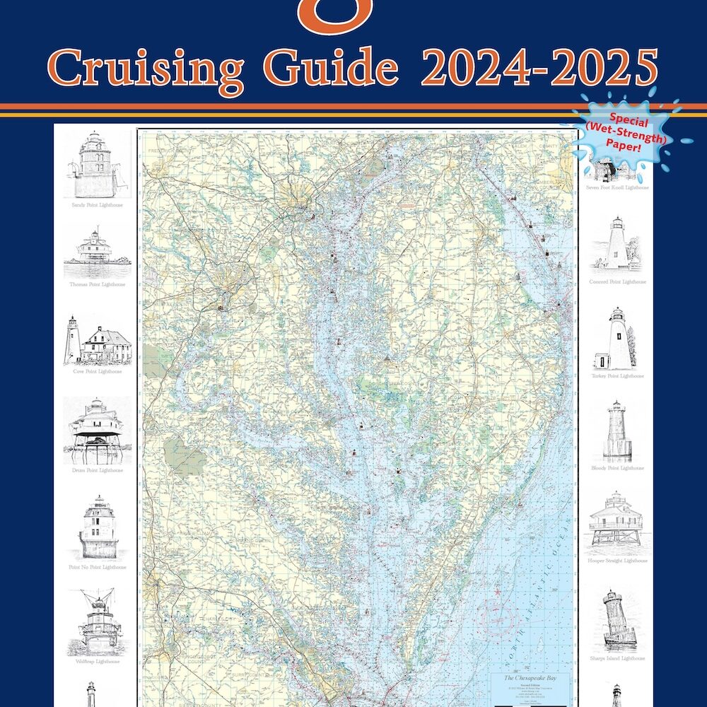
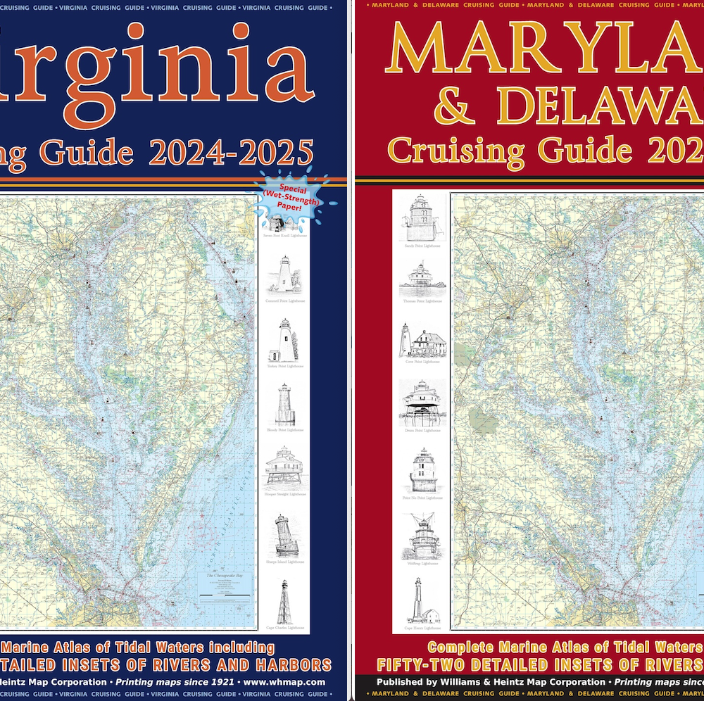
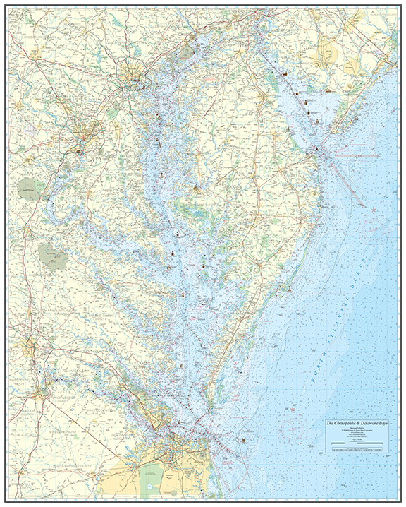
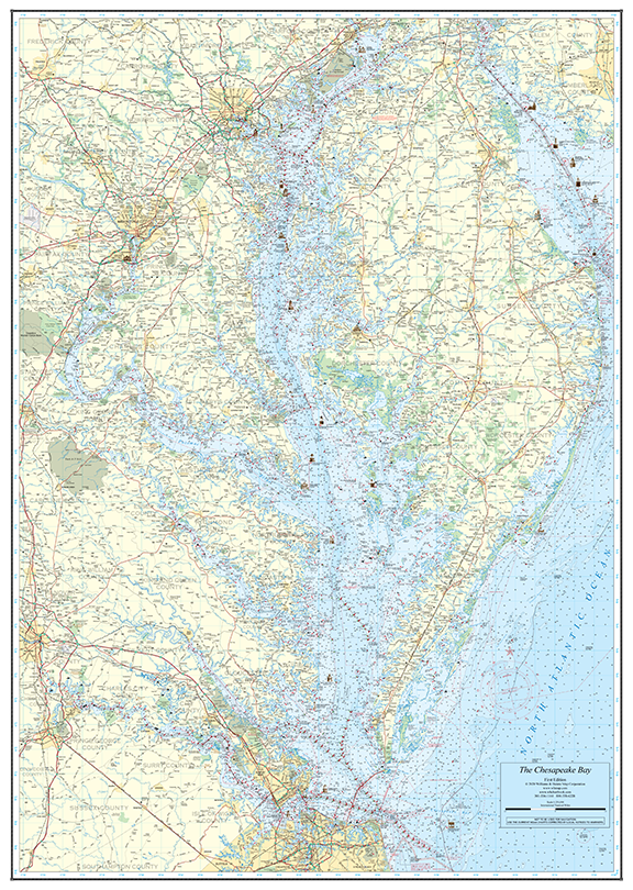
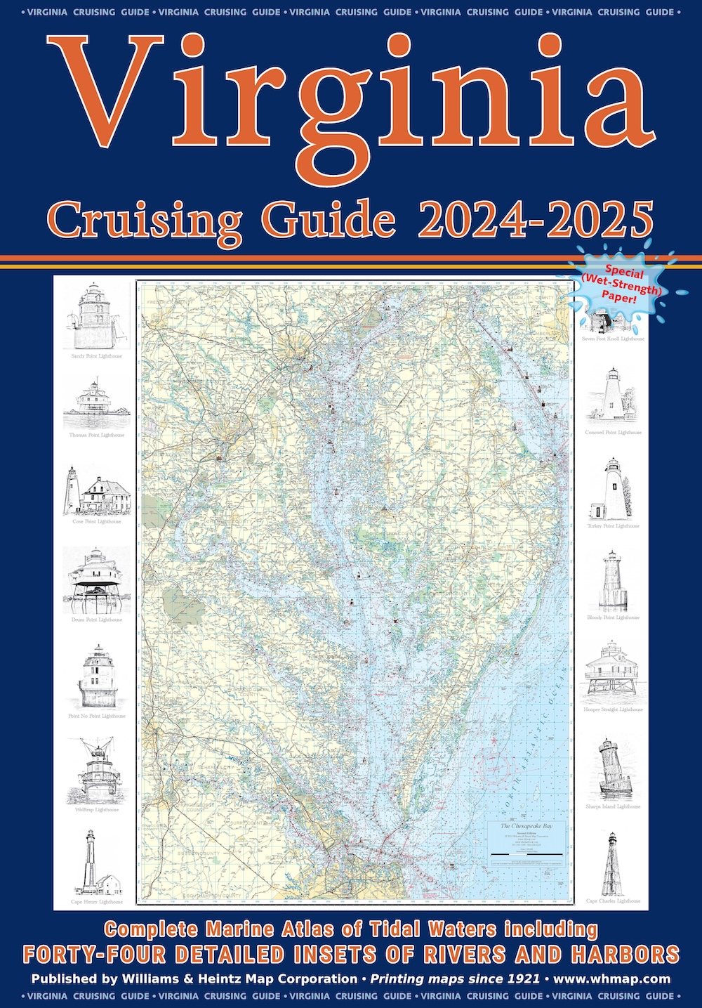
Cruising Guides Cruising Guides Cruising Guides
0
  • Home
  • Buy Charts
  • NOAA Pod Charts
  • Blog
  • Contact
  • WH Map Corp

VA Cruising Guides – (20 pack)

VA Cruising Guides – (20 pack)

$720.00

Our Virginia Cruising Guide covers Tidewater Virginia, southern Chesapeake Bay, Potomac River plus the Atlantic Ocean shores and bays.

Add to Wishlist
Compare
Category: Cruising Guides Tags: 20 pack, Cruising Guides, Virginia
  • Description

Description

Our Virginia Cruising Guide covers Tidewater Virginia, southern Chesapeake Bay, Potomac River plus the Atlantic Ocean shores and bays. There are enlargements of Ocean City and Chincoteague Island. VA Charts 12 through 37 are at a scale of 1:80,000. The 44 insets are in various scales from 1:40,000 to 1:20,000.

Related products

  • Cruising Guides - MD, DE, VA Combo (10 pack)Cruising Guides – MD, DE, VA Combo (10 pack) $408.00 Add to cart
    Cruising Guides – MD, DE, VA Combo (10 pack)
    $408.00
  • VA Cruising Guides - (10 pack)VA Cruising Guides – (10 pack) $408.00 Add to cart
    VA Cruising Guides – (10 pack)
    $408.00
  • Cruising Guides - MD, DE, VA Combo (20 pack)Cruising Guides – MD, DE, VA Combo (20 pack) $720.00 Add to cart
    Cruising Guides – MD, DE, VA Combo (20 pack)
    $720.00
Cart
All Products
  • Chesapeake & Delaware Bays 2nd Edition Chesapeake and Delaware Bays Wall Chart - 46.5" x 58" $70.00 – $90.00
  • Chesapeake Bay Wall Chart 35 x 50 Chesapeake Bay Wall Chart - 37" x 52" $60.00 – $80.00
  • VA Cruising Guides - (20 pack) VA Cruising Guides - (20 pack) $720.00
  • VA Cruising Guides - (10 pack) VA Cruising Guides - (10 pack) $408.00
  • VA Cruising Guides VA Cruising Guides $48.00
We are social 24/7 - Get in touch

Contact Us

8119 Central Ave., Capitol Heights, MD  20743
Phone: 301-336-1143
Mon to Fri: 9:00am – 5:00pm
Copyright ©2019 Williams & Heintz Map Corporation. All Rights Reserved.

Web Design by Solnet.

Select at least 2 products
to compare

View comparison