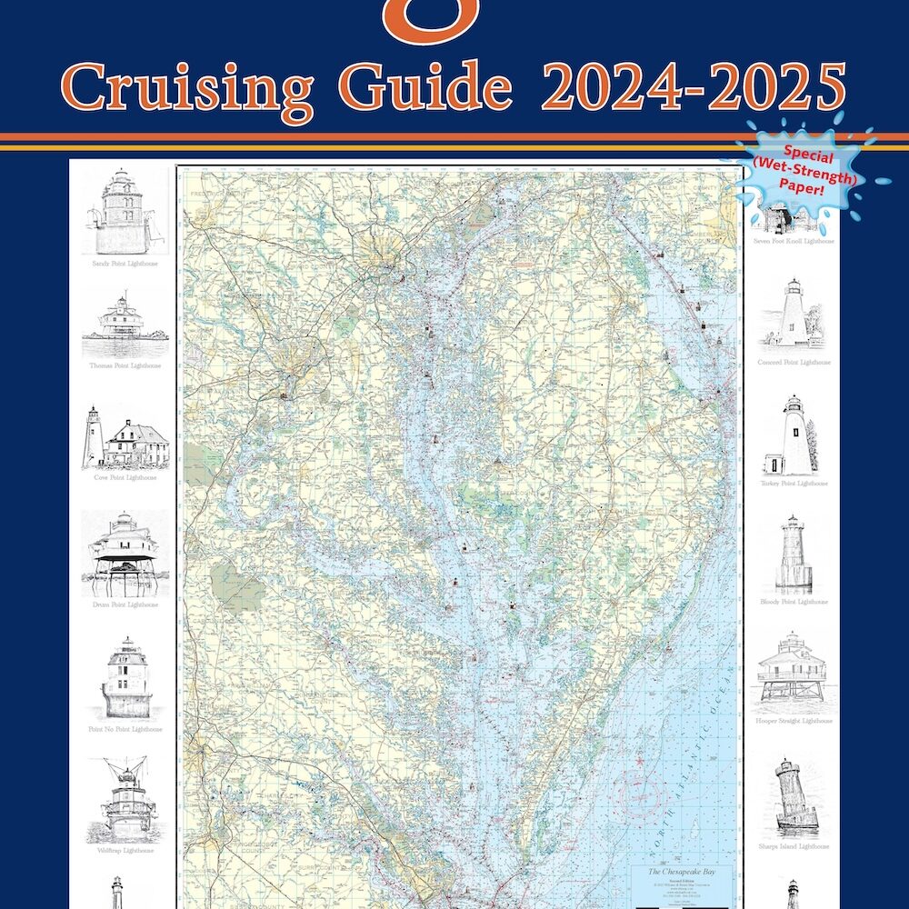
People like our chart books of the navigable waters, of Maryland and Virginia. They’re pleased with the detail, the ease of use, and they’re always impressed with the Wet-Strength paper we print on.
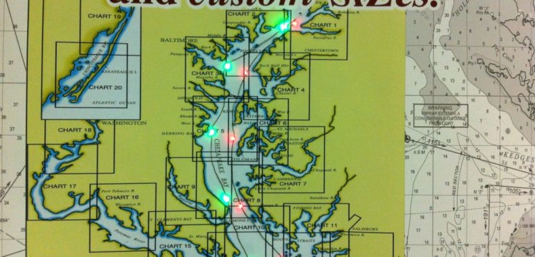
The biggest lament I hear, is that some boaters don’t really need all 20-26 charts in the book. They just do day trips. They only want a certain area. They have a kayak, or a twelve foot fishing boat, or they just want one of their area, showing their river, their dock, their marina.
Boaters really like the idea of getting an individual, favorite chart enlarged 200% because of aging eyes. They’re psyched at our ability to take the upper East part of one chart and the lower West part of another chart and seamlessly join them together into a beautiful custom chart, exactly to their specifications.
Next, for the other options:
I pepper them with questions, “Do you want large print on Wet Strength, or would you prefer lamination? How about a second one for a small fraction more? Do you want your chart personalized with an arrow pointing to your place using your own logo?”
As the customer and I plot out their exact chart area and decide on a size, they marvel at the reasonable price and free shipping.
Yours,


